Explained
Tupaia's chart.
In 1769 a priest and navigator from Raiatea drew Captain Cook a chart of more than seventy islands from memory. Europeans could not make sense of it for two hundred years.
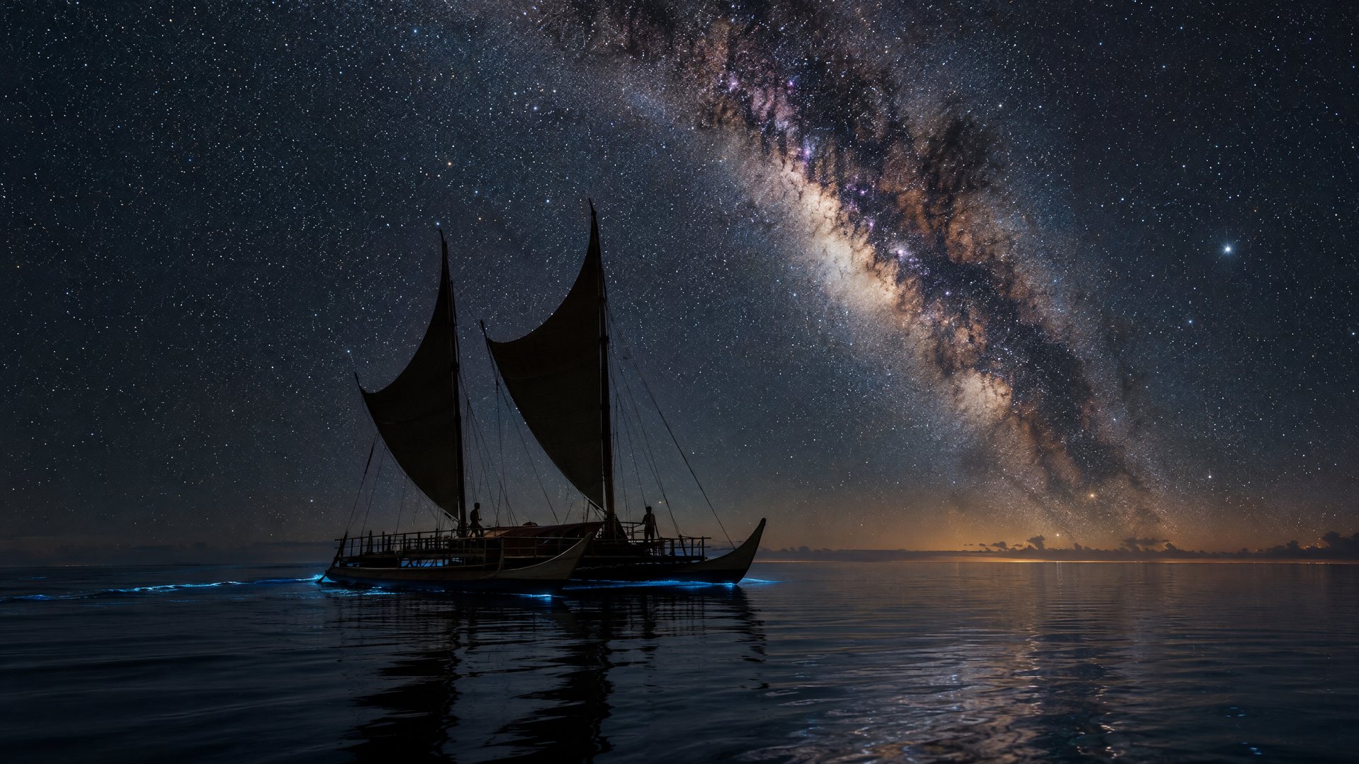
A voyaging canoe under the stars
Tupaia was an 'arioi priest and navigator from Raiatea who had fled to Tahiti after a war with Bora Bora. When the Endeavour left Tahiti in July 1769 he sailed with Cook, with the naturalist Joseph Banks paying his way, and guided the ship through the Society Islands and south to Rurutu before it turned for New Zealand.
01 · The chart
Seventy-four islands
from memory.
On the voyage Tupaia drew, or dictated to Cook and others, a chart of the islands he knew: seventy-four of them in the surviving copies, spanning more than four thousand kilometres from the Marquesas to the Australs and west to Samoa and Fiji. He had visited some and knew the rest from the voyaging traditions. Cook was impressed enough to copy it, and baffled by it: the islands did not sit where European geography expected them.
For two centuries the chart was read as a muddle. In 2019 two researchers, Lars Eckstein and Anja Schwarz, published a new reading: the chart is not a map on a European grid but a navigator's diagram, organised around the bearings of islands from a starting point and the direction of the wind and swell used to reach them, with north marked as the direction of a voyage rather than a fixed point. Read that way, most of the islands fall into place.
02 · The proof, two centuries later
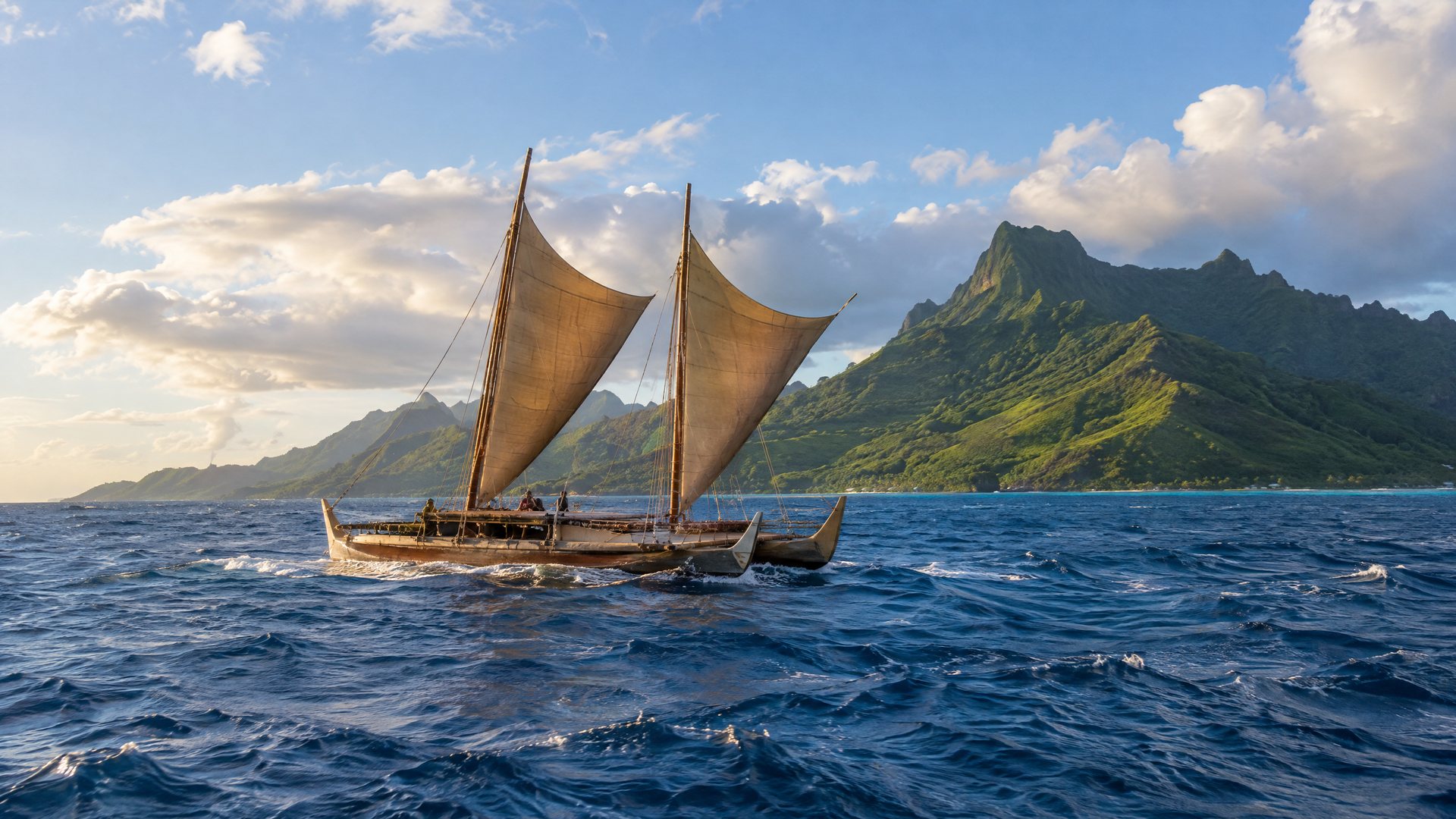
Hokule'a, 1976.
The question Tupaia's chart raised, whether Polynesians had settled the Pacific deliberately, was argued until 1976, when the reconstructed voyaging canoe Hokule'a sailed from Hawai'i to Tahiti without instruments, navigated by Mau Piailug of Satawal. It took about a month. The Raiatean navigator's knowledge had been real, and it was still teachable.
Related
Related pages.
Culture
Navigation
The star compass, the swells, the birds.
Read more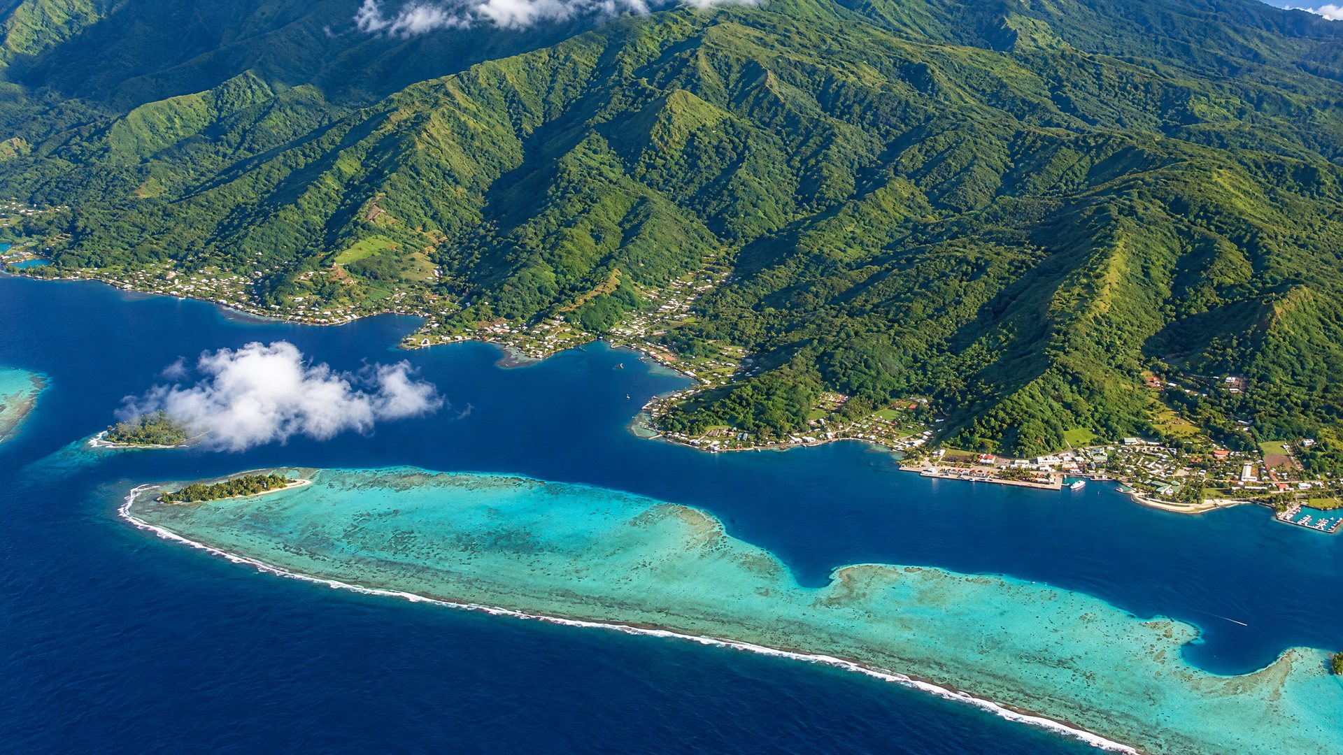
Society Islands
Raiatea
Taputapuātea, the World Heritage marae, and the base for most sailing charters.
Open the island guide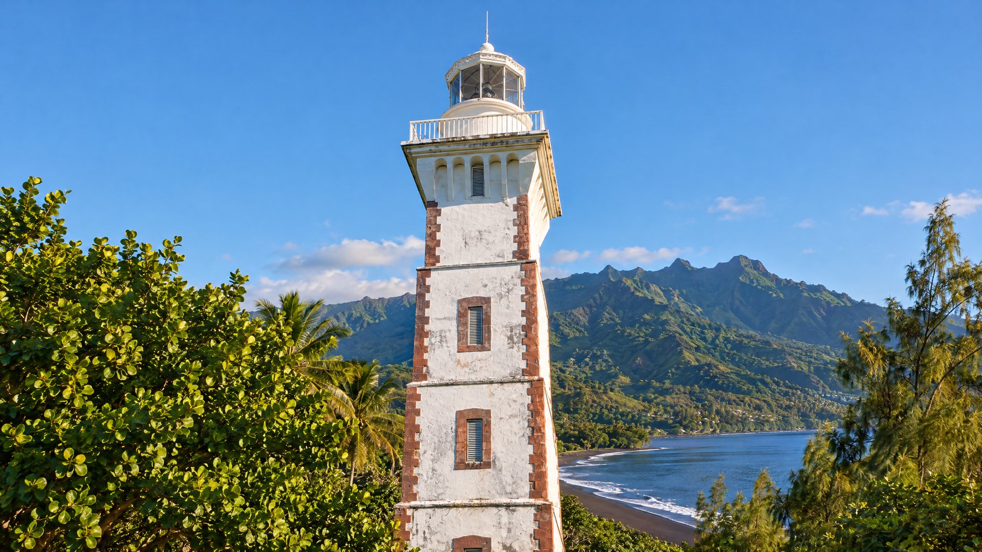
Culture
History
Contact, in six moves.
Read more
Australs
Rurutu
Limestone cliffs with caves, taro valleys, and humpback whales close to shore from July to October.
Open the island guide