Explained
How an atoll
forms.
A volcano rises from the sea, a reef grows round it, the volcano sinks, and the reef keeps growing. Darwin described it in 1842, and French Polynesia shows every stage.
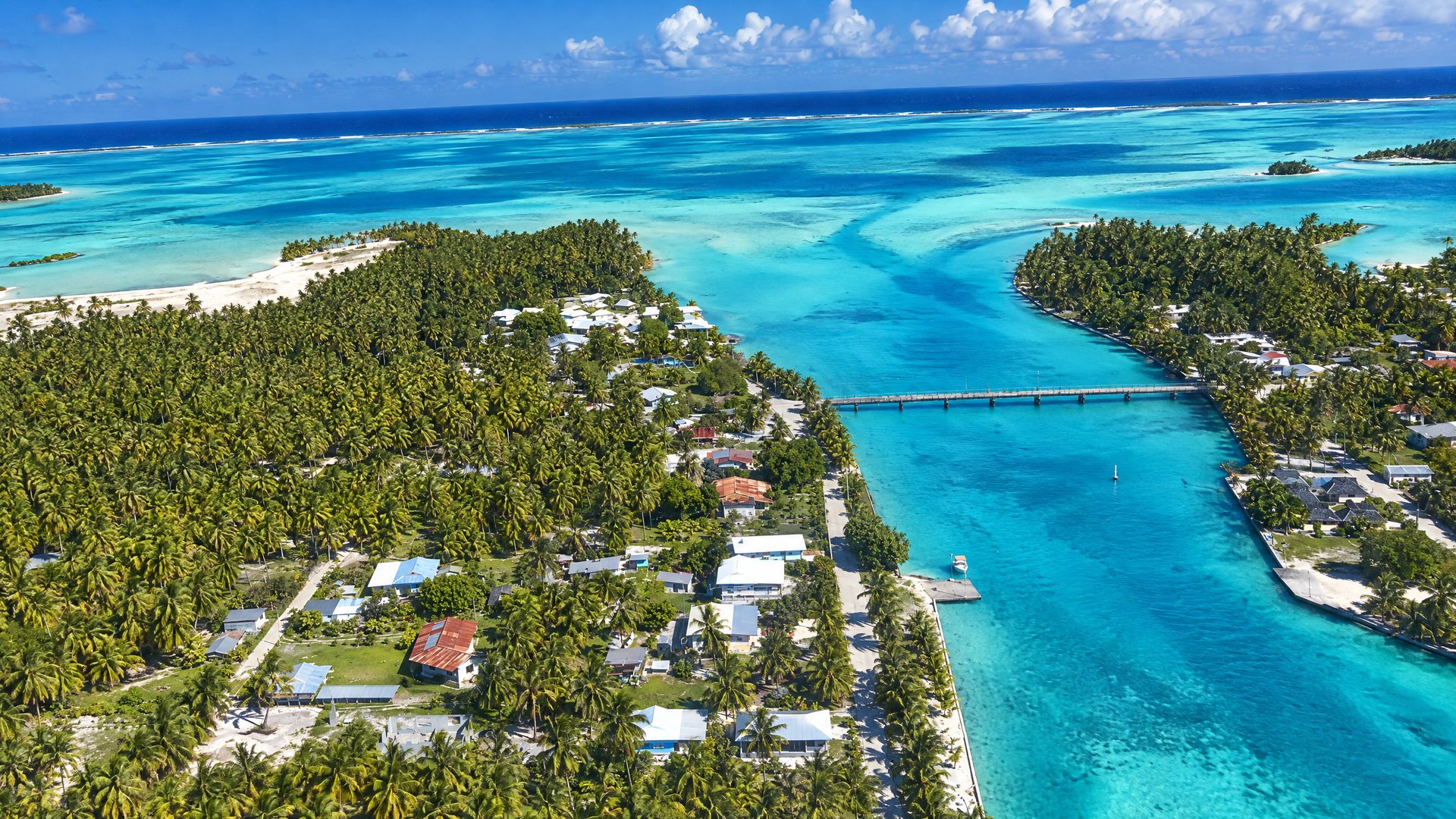
A Tuamotu atoll
Charles Darwin saw the problem from the Beagle in 1835 and 1836: reef-building corals live only in shallow, sunlit water, yet atolls stand in the open ocean over thousands of metres of depth. His answer, published in 1842, was that each atoll had grown on a sinking volcanic island. Drilling at Enewetak in 1952 reached volcanic rock under more than 1,200 metres of coral limestone and confirmed it.
01 · The sequence
Three stages,
three archipelagos.
A volcano rises over a hot spot in the Earth's mantle and breaks the surface. Corals colonise its shallow edges and build a fringing reef that hugs the shore. Tahiti is this stage: a young island, mostly mountain, with a narrow lagoon and reef close in.
The Pacific plate carries the island away from the hot spot, the volcano goes extinct, and the island begins to erode and sink. The reef, growing upward at the rate the island sinks, stays at the surface while the shore retreats, and a lagoon opens between them. Bora Bora is this stage: the remnant peak of Otemanu in the middle, a wide lagoon, and a ring of motu on the barrier reef. Raiatea, Taha'a, Huahine and Maupiti are at various points along the same path.
Eventually the volcano disappears below the surface and only the reef remains: a ring of coral and sand round a lagoon, which is an atoll. The Tuamotu are seventy-odd of them. Rangiroa's lagoon is 1,446 square kilometres, larger than the island of Tahiti, with 79 square kilometres of land round the rim and nothing higher than a coconut palm.
02 · See the stages
Three islands,
one story.
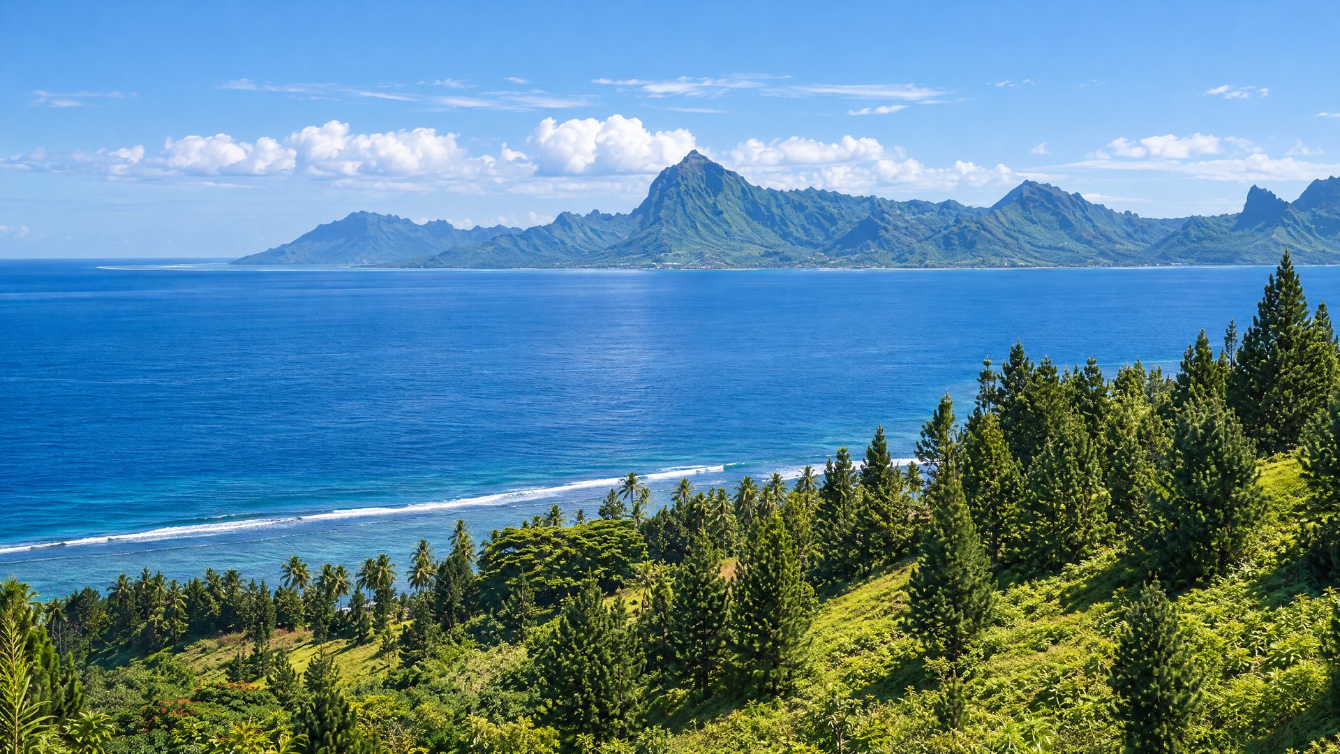
Tahiti: the young volcano
Mount Orohena at 2,241 m, deep valleys, a narrow lagoon and a fringing reef. Black-sand beaches from the eroding volcano.
Tahiti guide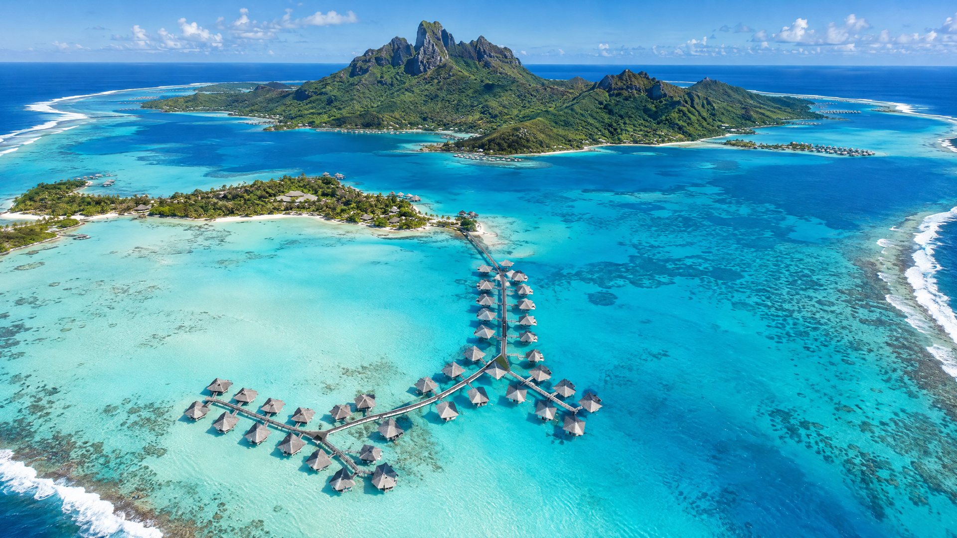
Bora Bora: the drowning volcano
Otemanu at 727 m, a wide lagoon, and a ring of motu where the reef now stands offshore.
Bora Bora guide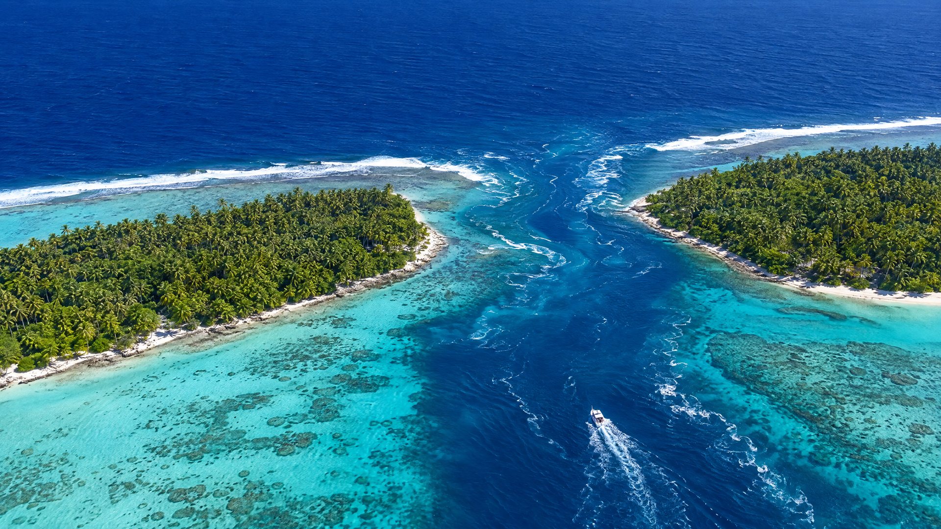
Rangiroa: the atoll
The volcano is gone. Two passes let the ocean in and out of a lagoon you cannot see across.
Rangiroa guide03 · Terms
Words on
the map.
- Motu
- An islet on the reef, built of coral rubble and sand, usually with coconut palms.
- Pass
- A gap in the reef through which the ocean and the lagoon exchange water on the tide. Where the sharks are.Tiputa, Garuae, Tumakohua
- Hoa
- A shallow channel across the reef rim between motu, flooded at high tide.
- Feo
- Fossil coral raised above the water, as on Rangiroa's Reef Island.
- Makatea
- Raised fossil reef, as on Rurutu's cliffs and the island of the same name.
Related
Related pages.
Explained
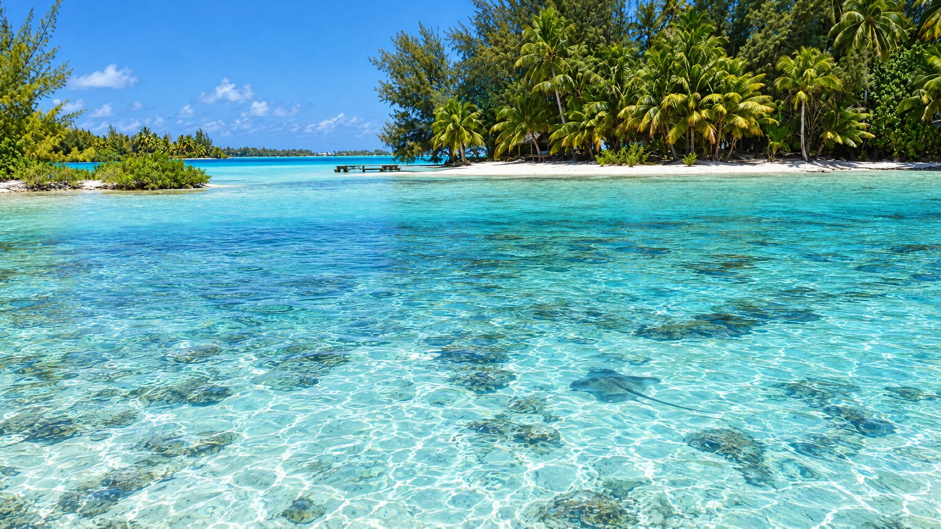
Why the lagoon is blue
White coral sand, shallow water and the way seawater absorbs red light.
Read the article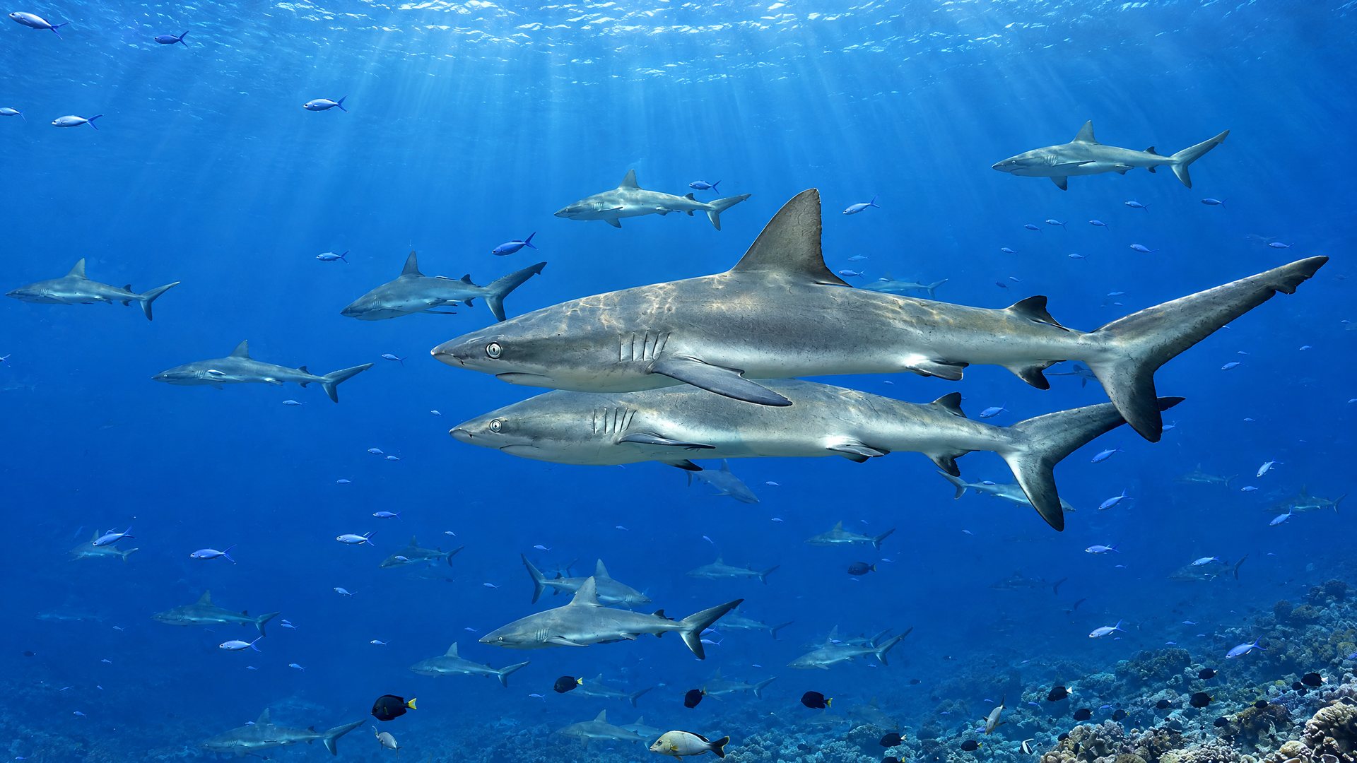
Explained
The wall of sharks
Several hundred grey reef sharks in Fakarava's south pass, and the grouper spawning that feeds them.
Read the articleTuamotu
Rangiroa
One of the largest atolls in the world. Pass diving, resident dolphins, a pearl farm and a vineyard.
Open the island guide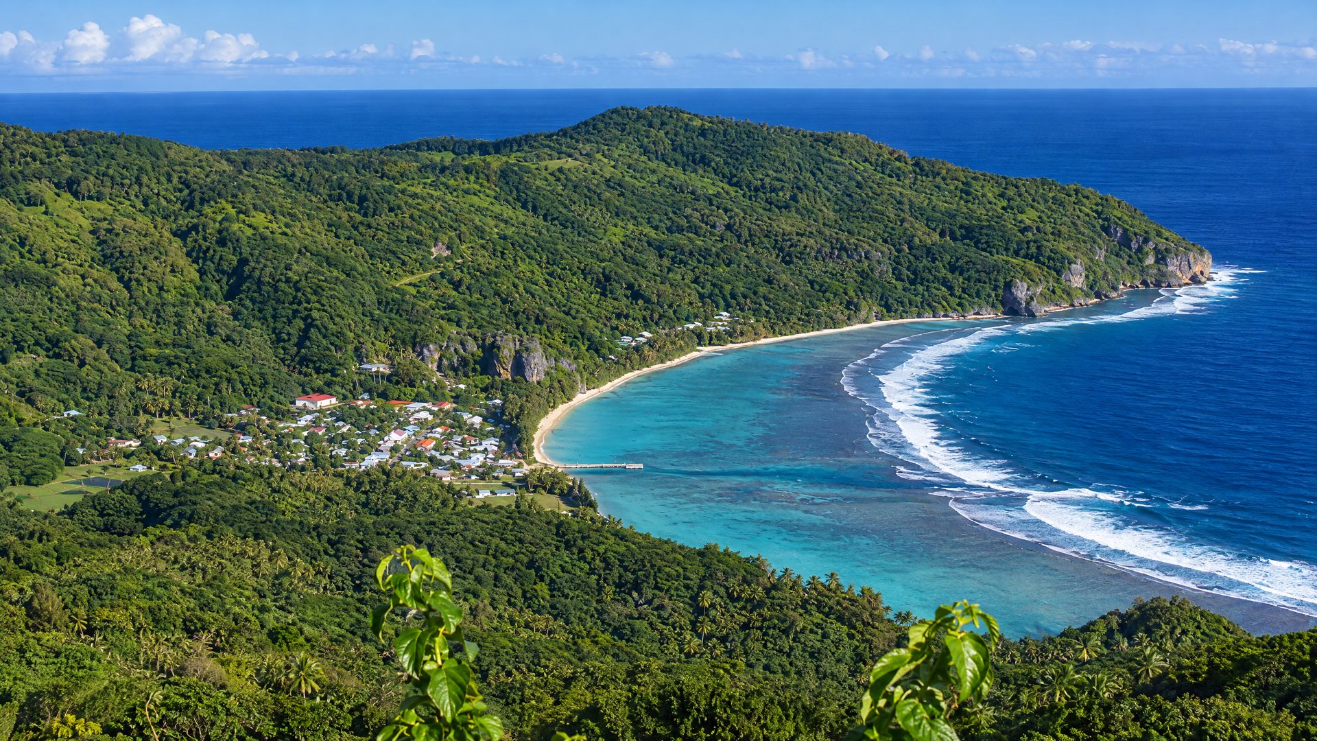
Australs
Rurutu
Limestone cliffs with caves, taro valleys, and humpback whales close to shore from July to October.
Open the island guide